MPABI
The MPABI data is also available on GBIF.
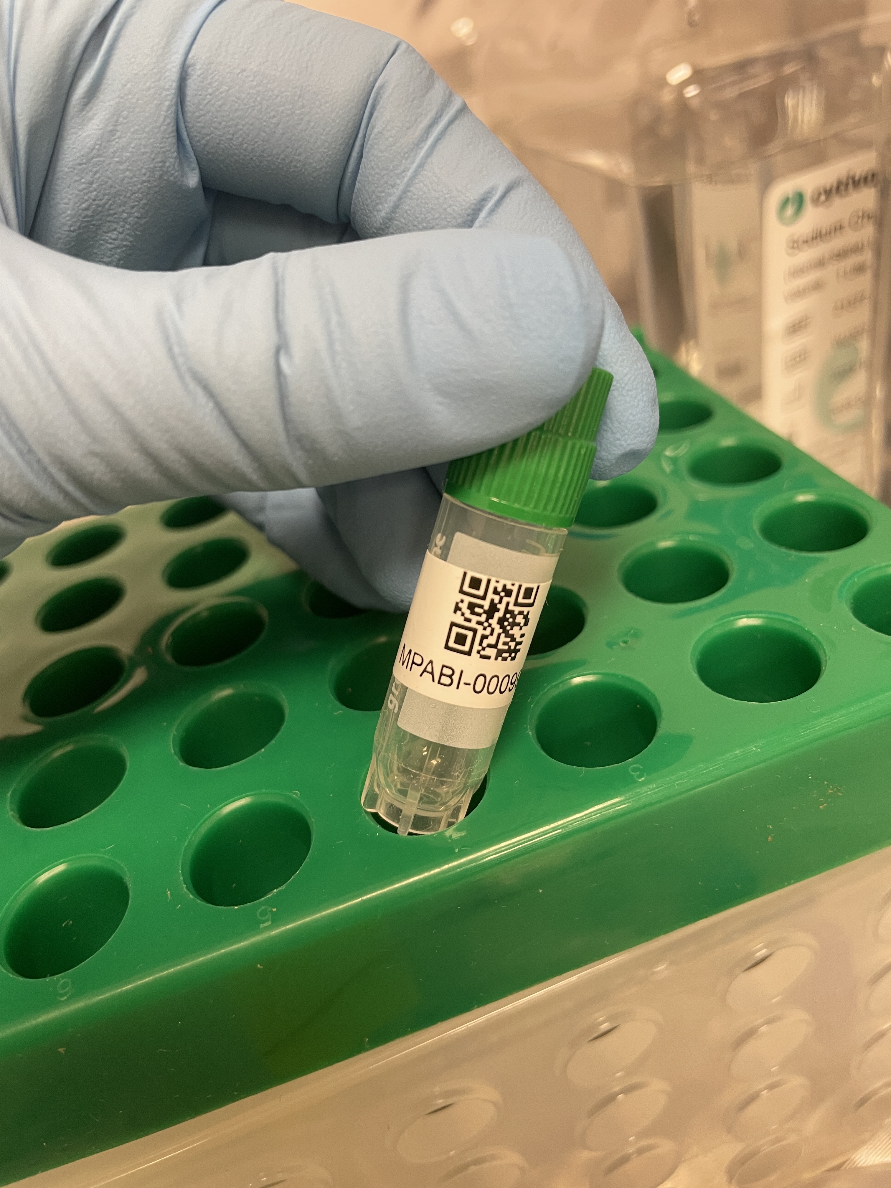
Collection Items
United States
2025-08-17
Minnesota, Lake County
47.953023, -91.751999
United States
2025-08-17
Minnesota, Lake County
47.953023, -91.751999
United States
2025-08-17
Minnesota, Lake County
47.953023, -91.751999
United States
2025-08-17
Minnesota, Lake County
47.953023, -91.751999
United States
2025-08-17
Minnesota, Lake County
47.953023, -91.751999
United States
2025-08-17
Minnesota, Lake County
47.95228, -91.75091
United States
2025-08-17
Minnesota, Lake County
47.95228, -91.75091
United States
2025-08-17
Minnesota, Lake County
47.95228, -91.75091
United States
2025-08-17
Minnesota, Lake County
47.95228, -91.75091
United States
2025-08-17
Minnesota, Lake County
47.95228, -91.75091
United States
2025-08-17
Minnesota, Lake County
47.95228, -91.75091
United States
2025-09-15
Florida, Palm Beach County
26.435078, -80.220385
United States
2025-08-17
Minnesota, Lake County
47.95228, -91.75091
United States
2025-08-17
Minnesota, Lake County
47.95228, -91.75091
United States
2025-08-17
Minnesota, Lake County
47.95228, -91.75091
United States
2025-08-17
Minnesota, Lake County
47.95228, -91.75091
United States
2025-08-17
Minnesota, Lake County
47.95228, -91.75091
United States
2025-08-17
Minnesota, Lake County
47.95228, -91.75091
United States
2025-08-17
Minnesota, Lake County
47.95228, -91.75091
United States
2025-08-18
Minnesota, Lake County
47.953023, -91.751999
United States
2025-08-18
Minnesota, Lake County
47.953023, -91.751999
United States
2025-08-18
Minnesota, Lake County
47.953023, -91.751999
United States
2025-08-18
Minnesota, Lake County
47.953023, -91.751999
United States
2025-06-14
Michigan, Washtenaw County
42.08925, -83.70383
United States
2025-08-18
Minnesota, Lake County
47.953023, -91.751999