MPABI
The MPABI data is also available on GBIF.
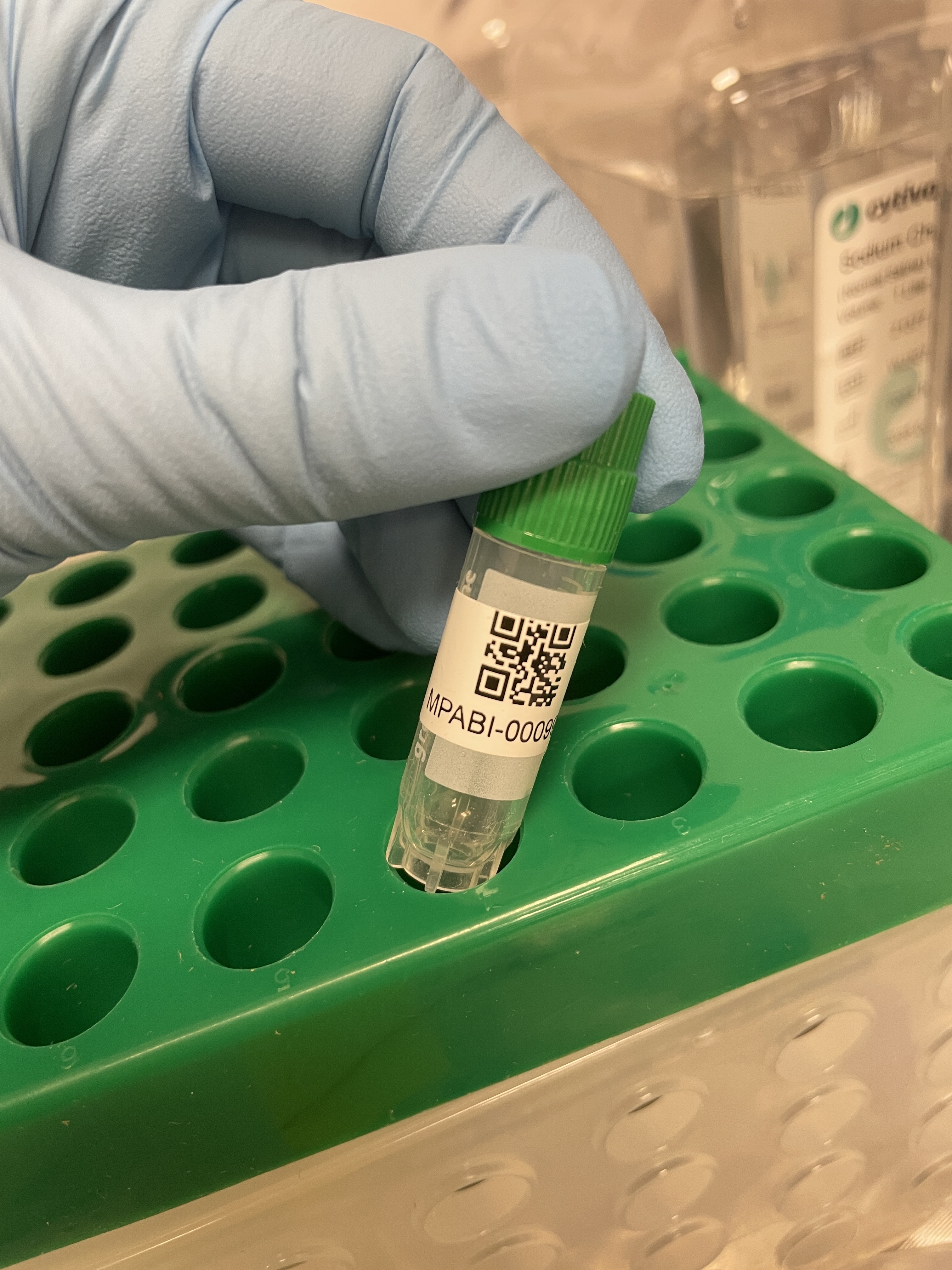
Collection Items
United States
2025-08-18
Minnesota, Lake County
47.9514, -91.75498
United States
2025-08-18
Minnesota, Lake County
47.951389, -91.749726
United States
2025-08-18
Minnesota, Lake County
47.951389, -91.749726
United States
2025-08-18
Minnesota, Lake County
47.951389, -91.749726
United States
2025-08-18
Minnesota, Lake County
47.951389, -91.749726
United States
2025-08-18
Minnesota, Lake County
47.951389, -91.749726
United States
2025-08-17
Minnesota, Lake County
47.953023, -91.751999
United States
2025-08-17
Minnesota, Lake County
47.953023, -91.751999
United States
2025-08-17
Minnesota, Lake County
47.953023, -91.751999
United States
2025-08-17
Minnesota, Lake County
47.953023, -91.751999
United States
2025-08-17
Minnesota, Lake County
47.953023, -91.751999
United States
2025-08-17
Minnesota, Lake County
47.953023, -91.751999
United States
2025-08-17
Minnesota, Lake County
47.953023, -91.751999
United States
2025-08-17
Minnesota, Lake County
47.953023, -91.751999
United States
2025-08-17
Minnesota, Lake County
47.953023, -91.751999
United States
2025-08-17
Minnesota, Lake County
47.953023, -91.751999
United States
2025-08-17
Minnesota, Lake County
47.953023, -91.751999
United States
2025-08-17
Minnesota, Lake County
47.953023, -91.751999
United States
2025-08-17
Minnesota, Lake County
47.953023, -91.751999
United States
2025-08-17
Minnesota, Lake County
47.953023, -91.751999
United States
2025-08-17
Minnesota, Lake County
47.953023, -91.751999
United States
2025-08-17
Minnesota, Lake County
47.953023, -91.751999
United States
2025-08-17
Minnesota, Lake County
47.953023, -91.751999
United States
2025-08-17
Minnesota, Lake County
47.953023, -91.751999
United States
2025-08-17
Minnesota, Lake County
47.953023, -91.751999