UMMZ Division of Mammals
Collection Items
Paraguay
1989-07-28
PRESIDENTE HAYES
-25.08333, -57.75
Paraguay
1989-07-28
PRESIDENTE HAYES
-25.08333, -57.75
Paraguay
1989-08-03
PRESIDENTE HAYES
-25.08333, -57.75
Paraguay
1989-07-28
PRESIDENTE HAYES
-25.08333, -57.75
Paraguay
1989-07-28
PRESIDENTE HAYES
-25.08333, -57.75
Paraguay
1987-11-30
PRESIDENTE HAYES
-25.08333, -57.75
Paraguay
1987-11-30
PRESIDENTE HAYES
-25.08333, -57.75
Paraguay
1989-08-04
PRESIDENTE HAYES
-25.08333, -57.75
Paraguay
1989-05-28
ALTO PARAGUAY
-20.1472, -58.15
Paraguay
1990-06-22
PRESIDENTE HAYES
-22.41667, -57.86667
Paraguay
1990-06-22
PRESIDENTE HAYES
-22.41667, -57.86667
Paraguay
1990-05-08
San Pedro
-24.31667, -57.16667
Paraguay
1988-03-17
PRESIDENTE HAYES
-25.08333, -57.75
Paraguay
1988-03-12
PRESIDENTE HAYES
-25.08333, -57.75
Paraguay
1989-07-16
PRESIDENTE HAYES
-25.08333, -57.75
Paraguay
1989-09-21
PRESIDENTE HAYES
-22.41667, -57.86667
Paraguay
1990-03-22
PRESIDENTE HAYES
-22.41667, -57.86667
Paraguay
1989-07-27
PRESIDENTE HAYES
-22.41667, -57.86667
Paraguay
1990-10-08
San Pedro
-24.31667, -57.16667
PRESIDENTE HAYES
-25.1, -57.5667
Paraguay
1999-09-10
Misiones
Coordinates not available
Paraguay
1999-09-12
Paraguari
Coordinates not available
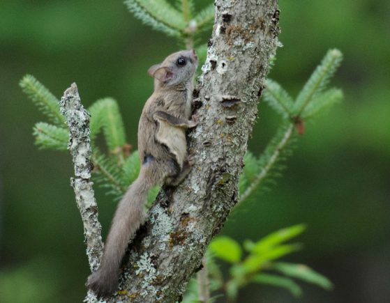
United States
1993-07-08
Michigan, CHARLEVOIX
45.8369, -85.5867
Paraguay
1990-09-01
ALTO PARAGUAY
-20.26667, -58.11667
Paraguay
1999-09-13
Paraguari
Coordinates not available